 84°F
84°F

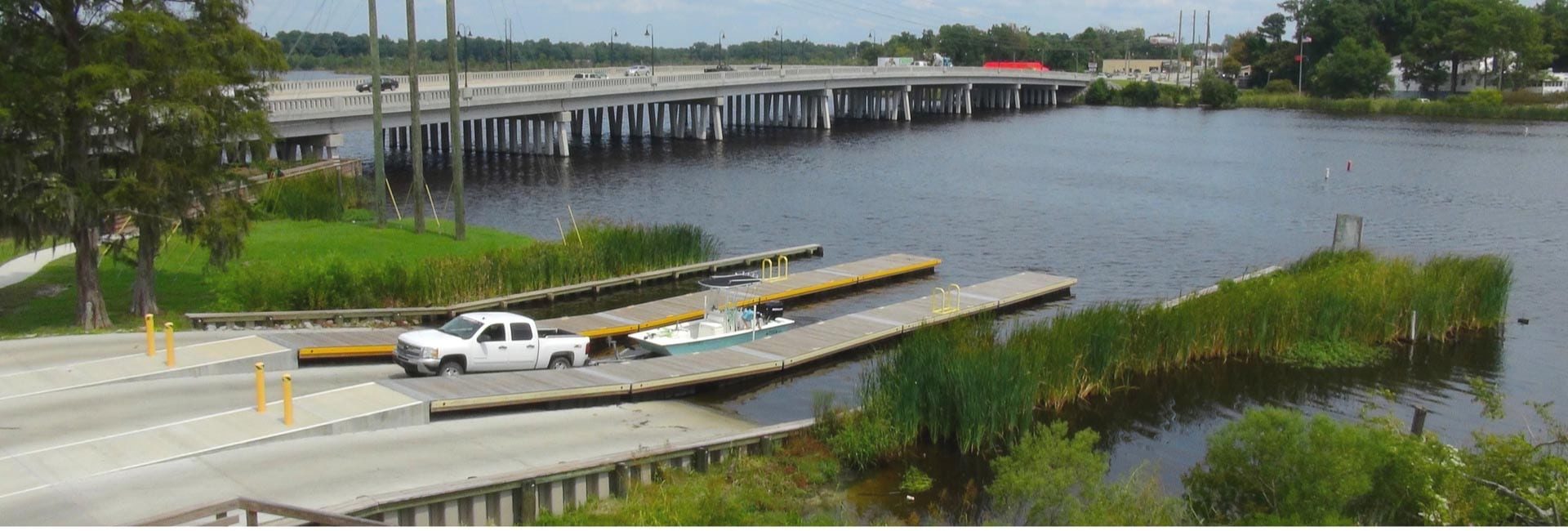


Enjoy boating in Onslow County! There are several boat access points throughout the county. See their locations on a map here.
Jacksonville Landing, New River
Onslow County N 34 ° 45’ 08” W 77° 26’ 08”
Address: 135 South Marine Boulevard, Jacksonville
From the junction of US 17 and NC 24 in Jacksonville, travel on US 17 (Wilmington Hwy. and Marine Blvd.) northeast 1.1 miles. Turn right on Old Bridge St. (SR 1402). Travle 0.1 miles to the entrance on the left.
89 Parking Spaces.
Northeast Creek Park Boat Ramp
Onslow County N 34° 44’38.22″ W 77° 21’13.28″
Address: 911 Corbin Street, Jacksonville
Sneads Ferry, New River
Onslow County N 34° 33’ 52” W 72° 22’ 58”
Address: 302 Fulcher Landing Loop, Sneads Ferry
From the intersection of US 17 and NC 50 in Holly Ridge, travel on US 17 north 4.3 miles. Turn right on NC 172 (Sneads Ferry Rd.) and travel 6.2 miles. Turn right on Wheeler Creek Rd. (SR 1557) and travel 0.6 miles. Turn left on Fulcher Landing Loop Rd. (SR1541) and travel 0.5 miles. The area is on the left, and parking is across the road.
43 Parking Spaces.
West Onslow Beach, Intracoastal Waterway
Onslow County N 34° 29’ 50” W 77° 25’ 41”
Address: 656 NC Hwy 10, North Topsail Beach
From the junction of US 17 and NC 210, about 13 miles south of Jacksonville, travel on NC 210 east 7.9 miles. Turn left on Shrimp Lady Ln. and travel 0.2 miles to the area at the end of the road.
30 Parking Spaces.
Shell Rock Landing, Intracoastal Waterway
Onslow County N 34° 39’ 12” W 77° 09’ 56”
Address: 250 Shell Rock Landing Road, Hubert
From the west end of the White Oak River Bridge on NC 24 in Swansboro, travel on NC 24 (W. Corbett Ave.) west 2.4 miles. Turn left on Queens Creek Rd. (SR 1509) and travel 3.9 miles. Turn left on Great Neck Landing Rd. (SR 1508) and travel 0.8 miles. Turn right on Shell Rock Landing Rd. (SR 1503) and travel 0.8 miles. Turn right on the access road to the area.
Turkey Creek Boat Ramp
Onslow County N 34° 29’ 39” W 77° 27’ 55”
Address: 619 Turkey Point Road, Holly Ridge
Willis Landing, Bear Creek
Onslow County N 34° 38’42.85″ W 77° 12’41.09″
Address: Closest intersection is Willis Landing Road and Saltwater Lane,
in Hubert, 300 feet down Willis Landing Road from the above intersection.


